

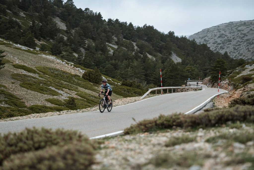


GRAVAL Road returns on 30 April 2027, starting from València. A loop of more than 600 km and 10,000 m of climbing on paved roads, with over 13 mountain passes ahead and a 65 hour time limit. As every year, the route is new, and this year it runs anticlockwise. Fully unsupported. No support, only what you carry and what your legs can take.
600
km
10,000
Elevation gain (m)
65
Time limit (h)
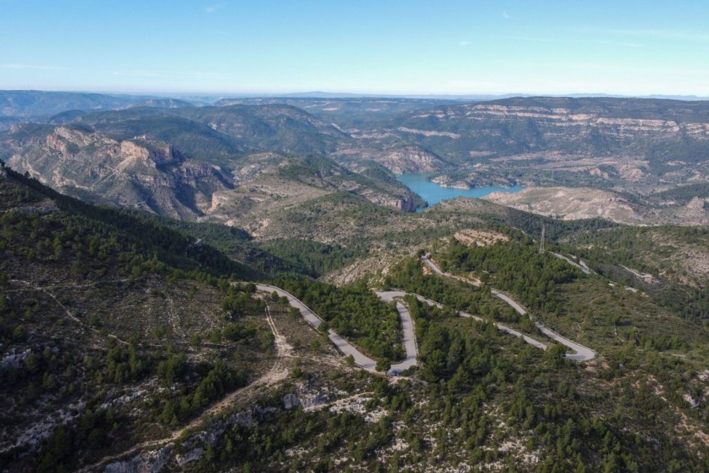
The route starts and finishes in València. More than 600 km with around 10,000 m of total climbing, crossing the provinces of Valencia, Cuenca, Teruel, Castellón and Albacete, with sections of high ecological value. 99% of the route is paved.
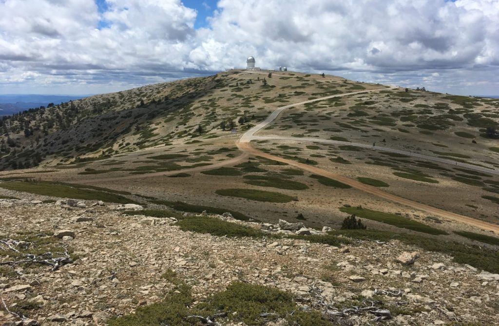
Most of it runs on quiet secondary roads. The hardest climb and the highest point of the route are the same, the Picón del Buitre, at 1,956 m, the only climb on the route that goes up and down the same side.
Some sections are remote, so plan your resupply stops well. The full route is sent to registered riders a few weeks before the event.
CP1
Bejís
CP2
Ademuz
CP3
Requena
CP4
Alcalá del Júcar
CP5
Cortes de Pallás
This map shows the checkpoints and the climb to the Picón del Buitre.
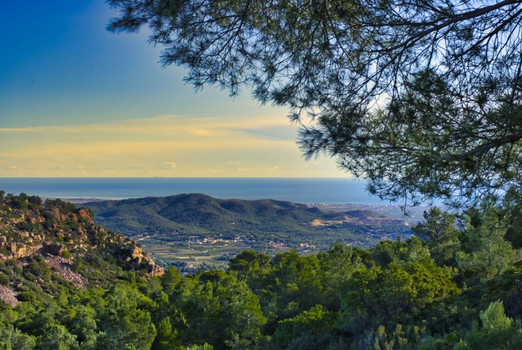
It appears right after leaving València. A massif of volcanic origin, recognisable by its reddish rock and its maritime pine forests mixed with holm oaks. The roads are narrow, with constant bends through the hills and the odd clearing with views over the plain below.
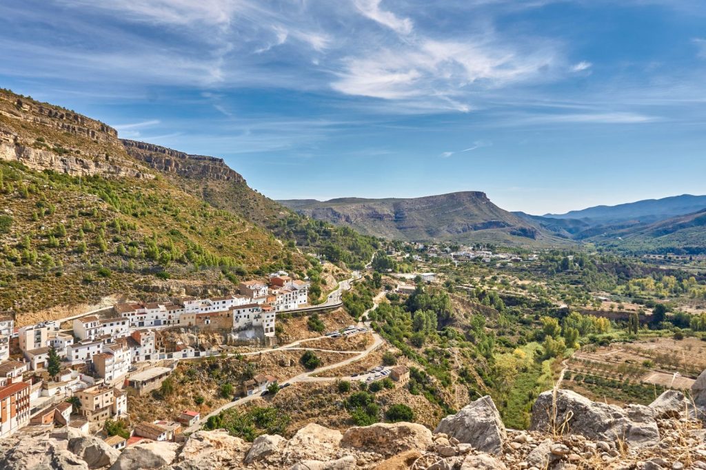
The route crosses the sierra through Alcublas before dropping towards the Alto Palancia, to Bejís, next to the river of the same name, where CP1 is located.
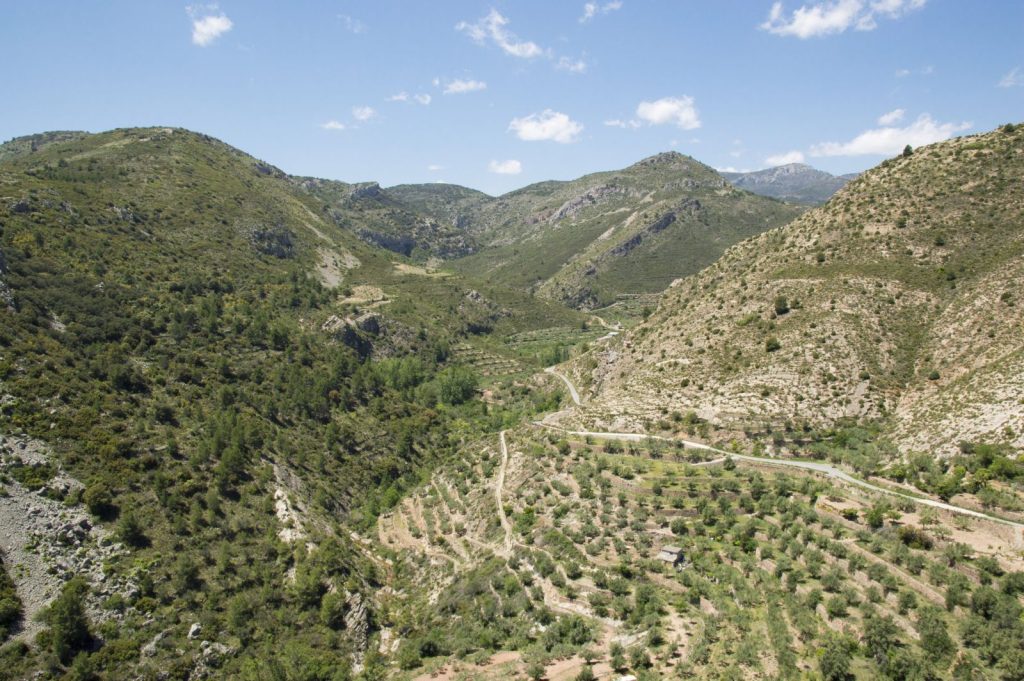
An isolated area of narrow valleys, small villages and very quiet roads, between Aragón and the Valencia region, with that feeling of being far from everything.
Here lies the great challenge of the route, the Picón del Buitre. Its summit, close to 2,000 metres, offers wide views that show the scale of the Iberian System. After the descent, a chain of climbs leads on to Ademuz.
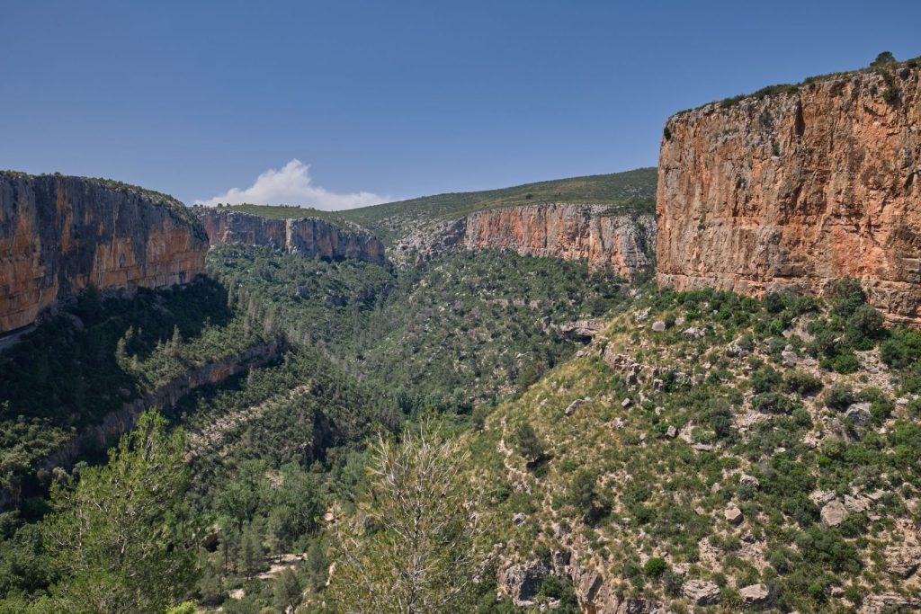
After Ademuz, the route enters the Chera Sot de Chera Natural Park, an area of pine forests, ravines and rock walls. Last year we could not ride through here because of roadworks. This year the road has just been resurfaced and it is a delight.
A chain of climbs crosses the whole park and gives no respite. Then comes Requena, home to CP3, among vineyards and open roads.
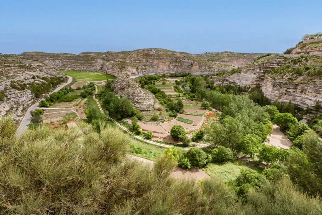
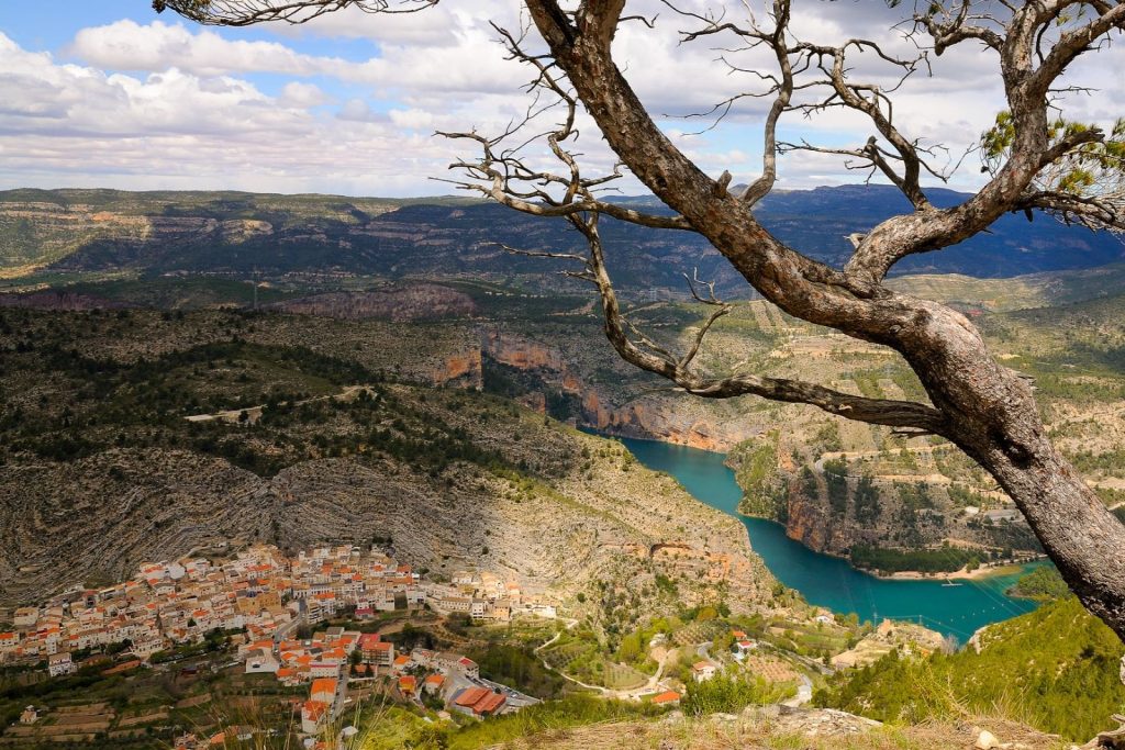
Requena is the heart of the Utiel-Requena wine region, land of the bobal grape. From there, the route heads into the Hoces del Cabriel, a canyon of vertical walls in one of the best preserved parts of the Biosphere Reserve.
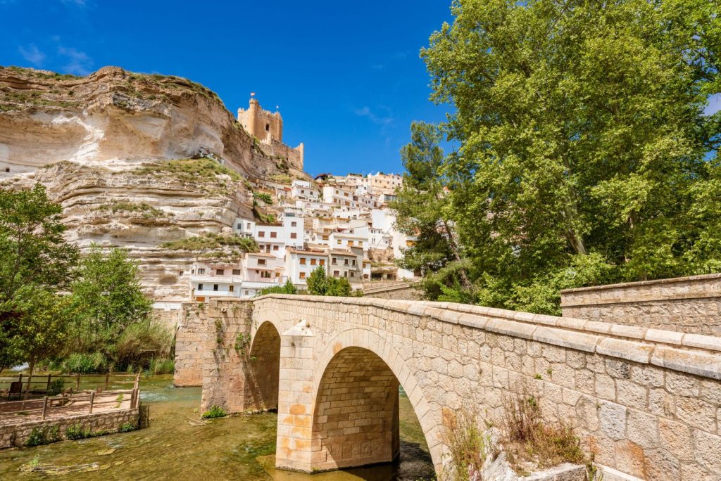
The route continues to Alcalá del Júcar, home to CP4, a village perched over the canyon with houses carved into the rock. It is one of the easier sections in terms of climbing.
On the map it may look like the finish is close, but it is quite the opposite. A leg-breaking massif with several climbs in a row, the last big block before València, with CP5 in Cortes de Pallás.
The final stretch before the finish is the Albufera, an open, flat landscape, very different from everything before, with the sea in the background all the way to València.
Read the rules and FAQ to cover the essentials before booking your place. Mandatory kit, GPS tracker, insurance, how the event works, cancellations, categories, pairs format and unsupported riding rules.
We share news and registration openings for GRAVAL events.